14
Aug
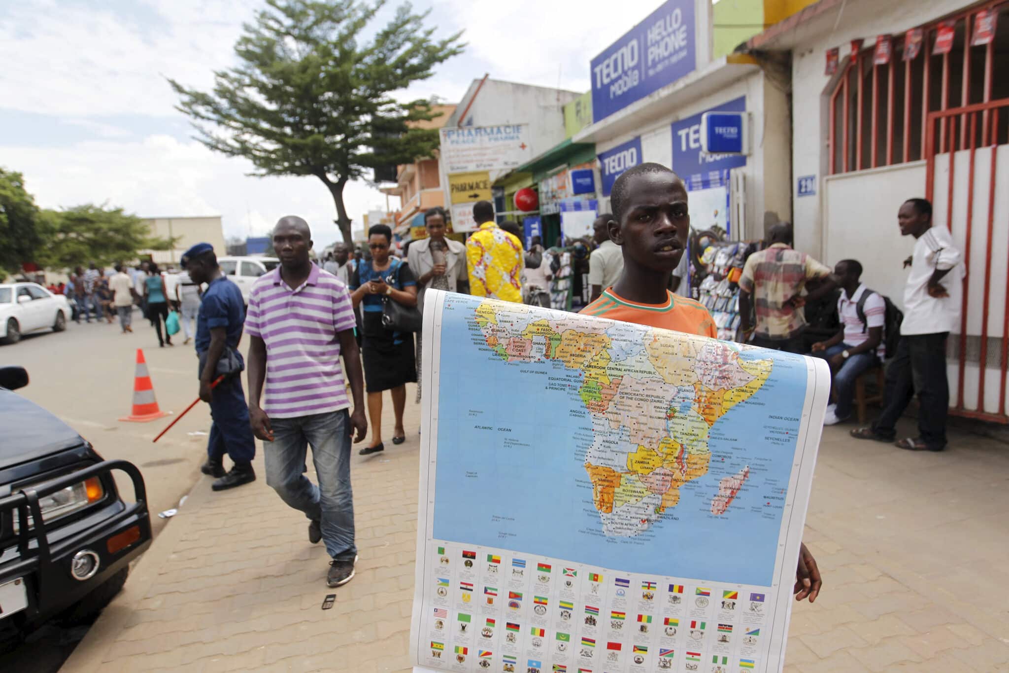
For centuries, maps have shaped the way people understand geography, history, and even global power dynamics. Yet the image most of the world still relies on, the Mercator projection, has long been criticized for distorting the size of continents. Africa, in particular, often appears smaller than it really is, overshadowed visually by Europe and North America despite being significantly larger in landmass. In a move that highlights the importance of representation in education and policy, the African Union has called for the adoption of maps that depict the continent at its actual scale.The debate around Africa’s portrayal on world maps…


