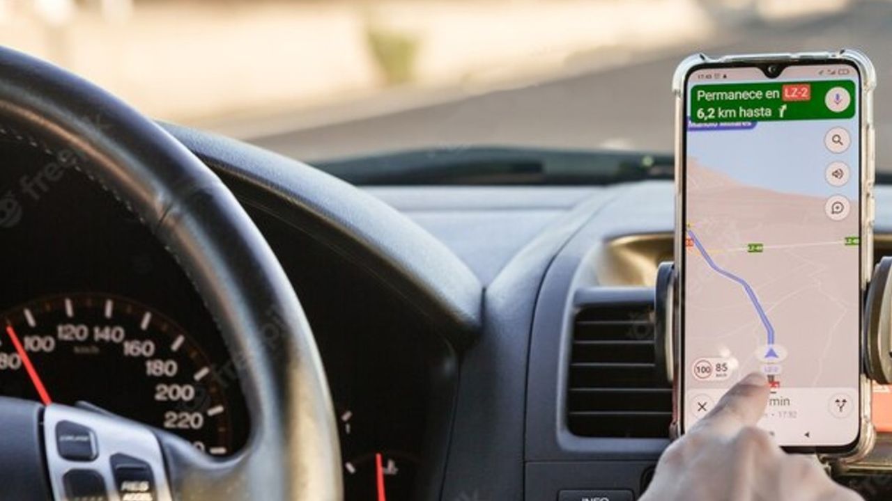
We are in a time when GPS for vehicles stopped being fashionable because they came out through mobile applications. With Google Maps and Waze at the forefront of preferences, we quickly move through cities and routes throughout Argentina. We know how to dodge traffic, where there are speed enforcement cameras, cuts, wells, parking lots and almost all the data that can be useful when driving. However… we can’t track off-road or navigate when we don’t have mobile data, unless we have previously downloaded the maps to the phone.
On this occasion, we will focus on locating our position and get routes to a certain place when there is no connection, something common when we move away from urban centers. And for that, nothing better than Maps.Me, an app available for Android and iOS which banishes almost any other mapping app, because it requires no Wi-Fi or mobile internet. We always manage to position ourselves on a map and lead us to the selected destination (no traffic directions) accurately, at times when other apps just consume battery thinking until they finally report: “Connection error” or “Ooops, something went wrong, try again”.
Maps.Me It’s free (there is a paid version that avoids advertising), it works on tablets and smartphones in a vertical or horizontal way, and uses OpenStreet-Map maps of the whole world that are updated periodically automatically and without loading. In the case of Argentina, the complete map (it is divided into 10 regions) weighs 430 Mb and can be downloaded by just one click. Google Maps, on the other hand, allows you to download portions of the map that must be previously selected based on your needs and locate within a rectangle (indicate the weight below), but in the best of cases they can be the size of a province (Entre Ríos, for example), so you have to know in advance where you are going to transit and, based on this, download one by one all the necessary screens (from CABA to Mendoza 5 maps are needed that occupy approximately 560 Mb). Undoubtedly, Google’s online or offline maps are more detailed than those of Maps.Me, but for the purposes of intuitive handling, browsing speed, ease of downloading and data required on the route (service stations and accommodation) , this last option is much more practical, since before starting the trip it only requires –at most– to verify that it is updated to the most recent version. As simple as that to have all the country’s routes on your cell phone.
If in any case we are one of those people that we like Planning the route to travel on Google Maps and mark favorite points to visit, the alternative may be to work in this application and then export the file in klm format to the cloud (it is done from the three dots located in the upper tab) and then, import it to Maps.Me. In this way we will combine the data from Google Maps in the other application and we will be able to navigate through them without connection, the fundamental key that we are looking for and a really interesting alternative for retail trip planners.
In case of choosing Maps.Me directly, navigating is as simple as opening the application (which quickly locates us), entering the town or address we want to go to, pressing “route to”, waiting a few seconds for the cell phone to think and begin to follow visual and voice prompts. Advice: if the route to be traveled is very long, it is advisable to mark intermediate points through which we wish to pass. As with Waze, the indicated route is not always the shortest or most significant to our fines. Therefore, before getting started, it is advisable to carefully observe the option outlined by the application and, if it is not the one we want, detail one or more cities along the route. Tip 2: if we choose to do it this way, when we reach the marked intermediate towns, be careful because the drawing on the map will make us enter the city, since it understands that we want to go there. The best thing in these situations is to erase that intermediate point a few kilometers before arriving; in this way it will allow us to continue along the route.
Pros and cons of Maps.me
As is often the case, nothing is 100% perfect. Where does Maps.Me fail? Occasionally, in service station names which, for example (although not always), may appear on the map as “Gasolinera de Juan Pérez SRL”, so we do not know in advance if it is YPF, Shell, Axion or white flag. Another error can occur on highways or routes with side access lanes, where it is likely that it will make us go down to go back up. In so many years of use they are the only claims I can make.
Sales? Through a dotted line allows you to see the journey made during the last 12 hours (to go back or know if you went through the same place several times), you can save favorites, it has a perspective view, 3D buildings, autozoom, ruler to measure distances, scale, distance to travel, time and time of arrival at the destination and a large amount of data on accommodation, restaurants, Wi-Fi access points, ATMs, etc., which multiply when the cell phone connects to the Internet.
Without a doubt, there are many apps to navigate Argentine routes and cities. And perhaps two of the most used are Google Maps and Waze, with several similarities and marked differences (sometimes, Google Maps has made me turn left at traffic lights without an arrow, for example). However, when there is no data connection, we appreciate downloading Maps.Me, which in the reviews of the Apple Store accumulates 4.8 stars (out of 5), the same score as its competitors.
Gratitude: @mainumby4x4


.jpg)